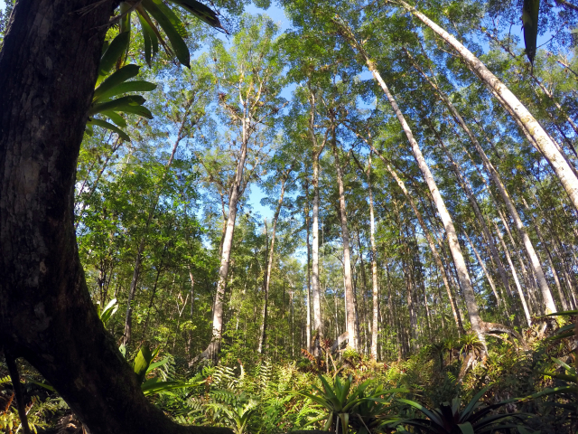
08/10/2021 | The Panama Bight eco-region along the Pacific coast of Central and South America is considered to have one of the best-preserved mangrove ecosystems in the American continent with exceptionally tall mangroves. In a study published in Frontiers in Forests and Global Change Gustavo Castellanos and Elisa Casella, scientists at ZMT, and colleagues from WWF Colombia, the Colombian Ministry of Environment and the California Institute of Technology in USA evaluate the use of different methods to characterize the structure of these mangrove forests. Here is an interview with the two ZMT scientists:
What was the initial question of the study?
Elisa Casella: We wanted to have insights on the structural characteristics of the tallest mangrove forests of the American Continent in an extremely remote area (southern Colombian Pacific coast) and at the same time we evaluated the use of different complementary methods providing information on the structure of the mangroves. The methods comprised ground-based measurements, drone imagery and radar data.
What are the new findings?
Gustavo Castellanos: All methods used corroborate the existence of the tallest mangroves of the American continent (~60 m tall) in this area of the Colombian Pacific coast. This has important implications for blue carbon projects in this exceptionally carbon rich area.
All previous height, above-ground biomass and carbon estimates for this region were based on modelling studies that did not have ground data. We were able to provide these data now for some of these areas. Our study is the confirmation that these luxuriant mangrove forests exist - with different methods besides satellite remote sensing.
Elisa Casella: Consumer-grade drones are now affordable for many research and nature management institutes, and have proved to provide a reliable new perspective to observe and monitor the environment. The low-altitude data collected in this study thanks to a drone platform and processed with computer vision and visual perception science methods, not only provided information on trees height but also allowed observing the degradation of this almost pristine environment due to an opportunistic species, the mangrove fern (Acrostichum aureum). The orthomosaic generated from the drone data allowed gathering a georeferenced aerial view of this species and the location of mangroves gaps.
What conclusions can be drawn from this?
Gustavo Castellanos: The techniques are complementary and may represent the three tiers for carbon reporting, whereby the drone-derived canopy height maps, calibrated with local in situ measurements, provide affordable and reliable estimates of carbon stocks at the project level.
The combination of drone and ground survey data can also provide a way to detect and monitor small-scale ecosystem degradation symptoms that so far are not possible to detect with the satellite remote sensing products currently used for mangrove mapping. Satellite remote sensing products have many times very coarse resolutions that are not able to detect localized degradation. Drone products, as shown in this paper, can be very detailed (5 cm resolution or less) and therefore can provide information on small-scale degradation that often occurs in mangroves. This may allow early detection of these changes.
What are the implications of your study for mangroves research?
Gustavo Castellanos: These mangrove areas with their tall trees are extremely carbon rich and provide important ecosystem services to vulnerable local communities, but they face current degradation threats that urgently need to be researched. Our combination of methods could be used to continue monitoring these threats and help to design policies to halt this degradation.
Do the results have far-reaching significance?
Gustavo Castellanos: Mangroves are now recognized as key coastal ecosystems providing many important ecosystem services. Our research contributes to identify a blue carbon rich area in the world worth of protection. Our methods are highly complementary and could be replicated in other mangrove settings worldwide.
Publication: Castellanos-Galindo GA, Casella E, Tavera H, Zapata Padilla LA and Simard M (2021) Structural Characteristics of the Tallest Mangrove Forests of the American Continent: A Comparison of Ground-Based, Drone and Radar Measurements. Front. For. Glob. Change 4:732468. doi: 10.3389/ffgc.2021.732468


