Summary
The integrity of coral reefs’ three‐dimensional carbonate framework is severely threatened, yet key to protect 150,000 km of the world’s coastlines from erosion and provide food for one billion people.
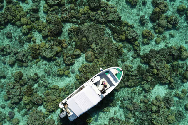
Mapping reef three‐dimensionality may thus help assess the status of these ecosystem services. Consumer‐grade drones offer a cost‐effective avenue to achieve this goal, but their applicability to predict shoreline protection and food production remains untested.
FlyBack integrates knowledge on ecology, geosciences, and environmental economics, with cutting‐edge advances in drone and photogrammetry technologies.
It asks for the first time whether backreefs’ geomorphology is a proxy for their capacity to provide food fishes, and the capacity of adjacent barrier reefs to protect shorelines.
The project will couple this information with societal perceptions and likely responses to risks associated with coastal erosion and depleted food fishes.
FlyBack therefore takes a pivotal step towards anticipating the adaptation and management of social‐ecological systems facing environmental change.
Project Partners |
|---|
|
Elisa Casella (WG Data Science and Technology, ZMT) Alessio Rovere (MARUM) Marie Fujitani (WG Deliberation, Valuation and Sustainability, ZMT) |


